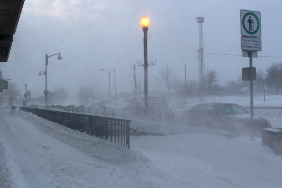
WEATHER ALERT
ENVIRONMENT CANADA
**************************
Issued at 2024-11-30 9:09PM EST by Environment Canada:
Snow squall watch issued for:
Innisfil - New Tecumseth - Angus, Ont.
Current details:
Lake effect snow squalls possible Sunday into Monday.
Hazards:
Locally heavy snowfall with accumulations possibly exceeding 15 cm by Monday night.
Poor visibility at times in heavy snow.
Timing:
Sunday morning or Sunday afternoon through Monday night, possibly continuing into Tuesday.
Discussion:
Snow squalls off Lake Huron and Georgian Bay will shift southward into the region late Sunday morning or early Sunday afternoon. This will result in brief, but possibly intense snowfall. Snow squalls should pass south of the area relatively quickly. As northwesterly flow sets up off Georgian Bay, lake effect snow squalls are expected Sunday night into Monday, possibly continuing into Tuesday for some areas. Travel may be difficult to nearly impossible at times under these snow squalls. As is common with snow squalls, snowfall amounts will be highly variable.
Travel may be hazardous due to sudden changes in the weather.
Consider postponing non-essential travel until conditions improve. Public Safety Canada encourages everyone to make an emergency plan and get an emergency kit with drinking water, food, medicine, a first-aid kit and a flashlight. For information on emergency plans and kits go to https://www.getprepared.gc.ca/.
Please continue to monitor alerts and forecasts issued by Environment Canada. To report severe weather, send an email to [email protected] or tweet reports using #ONStorm.
More details on the alert are available here.
*************************


